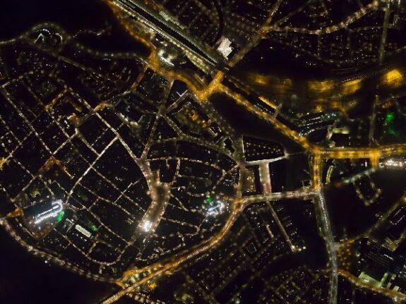
Aerial photography by night

Aerial photography by night, also called a night photo or nightscan, clearly visualizes existing light pollution by artificial light by means of an aerial photo.
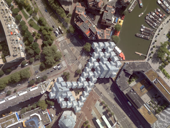
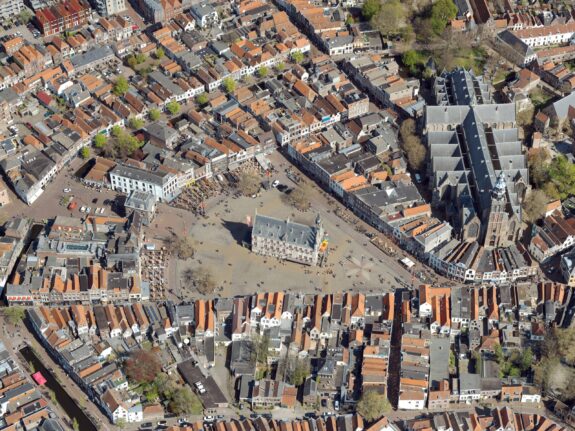
Aerial photos of your municipality or territory are taken from an aircraft with a special aerial camera. The flights are carried out at night, in the darkest hours of the night. During the aerial imaging, the weather should be clear.
Combined with regular aerial photography and building outlines, an aerial image by night provides a clear picture of the available artificial light at street level. This gives you a complete overview to support city policies and their implementation. By combining the aerial photo by night with other maps, you can draw conclusions about the quality of the lighting.
An aerial photo by night provides important information in the field of the environment, security and design and maintenance of the outdoor public space.
Environment
- Insight into possible light pollution (illuminated sports fields, playgrounds, stadiums, greenhouses, advertising columns, etc.) and insight into energy saving and optimization of the different types of lighting (traditional lamps versus LED lighting);
- Insight into places where there is excessive lighting;
- Making your municipality animal-friendly by switching off the lighting in crucial places.
Security
- Mapping of no or insufficient lighting in certain areas including roads;
- Increasing safety in the living environment by understanding places that are underexposed and better illuminating these areas;
- Insight into the lack of light poles or defective light poles;
- Inspecting whether a road is illuminated according to standards by determining the average illuminance per road surface.
Design and maintenance of the outdoor public space
- Mapping of street lighting, insight into broken lamps and the (re)design of the lighting network;
- Determining and, if necessary, adjusting the light level in the entire municipality, so that cost savings can be achieved;
- Combination with city lighting management maps to improve the quality of public lighting.
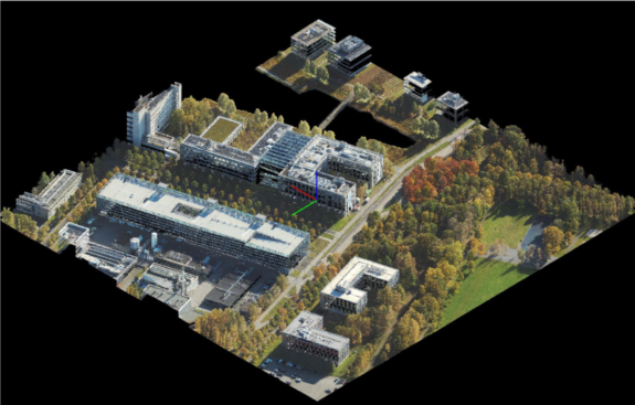
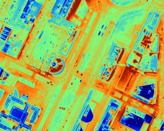
We can simultaneously collect aerial photography by night with thermal aerial photography. Contact us for more information.
Some examples of our thermal aerial photography projects (in on-line viewer):