Sustainability
With our products we strive to contribute towards a climate neutral society.
Less energy and more green
Based on our thermal aerial photos, houses and buildings with a lot of energy loss are quickly visualized, after which building owners can get started with energy-saving measures. Also on the basis of our thermal aerial photos, heat islands in cities are quickly visualized, after which city planners can better design these places with less concrete surfacing, more green and more water.
Less and smarter lighting
Based on our aerial photos by night, light pollution is quickly visualized, after which governments and companies start working on energy savings, switching off excessive lighting, optimizing different types of lighting and a more animal-friendly lighting plan.
Be prepared for rising sea levels, flooding, subsidence and climate change
On the basis of our lidar height measurements, subsidence and levee heights are quickly visualized, after which the government starts making adjustments to mitigate the consequences of climate change.
Mapping the effects of climate change
Based on our digital oblique and vertical aerial photos, the consequences of climate change are quickly visualized. In July 2021, for example, we mapped the high water situation in Limburg, after which government authorities were able to properly analyze the flooding and damage and make suggestions for improvements. Based on our aerial photos, the expansion of drought areas quickly becomes visible, as well as deforestation and urbanization. Also based on our digital oblique and vertical aerial photos, asbestos roofs are quickly visualized, after which building owners can replace them with roofs made of more sustainable materials.
CO2 footprint
Because we use motorized aircraft for our survey flights, we also emit CO2. We try to keep the footprint of our company as small as possible. For example, we compensate the CO2 emissions of all our survey flights by contributing to certified carbon footprint compensation projects. In addition, we optimize our flight movements with every flight so that we can complete our projects in the shortest possible flight time, preferably within one flight. By mainly opting for assignments in the Netherlands, Belgium and Germany, the flight time to our project areas is always relatively short. Hybrid and multi-sensor data acquisition enables us to collect multiple types of aerial photography and lidar simultaneously.
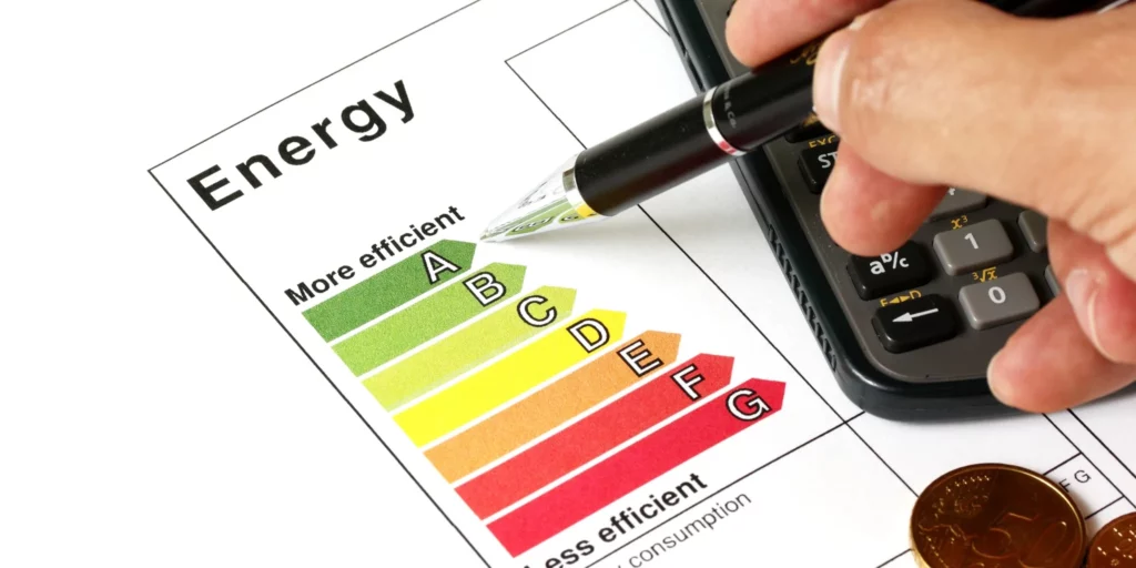
Energy label A
Both our office locations are provided with an energy label A and our office in Houten is accomodated with solar panels on the roof.