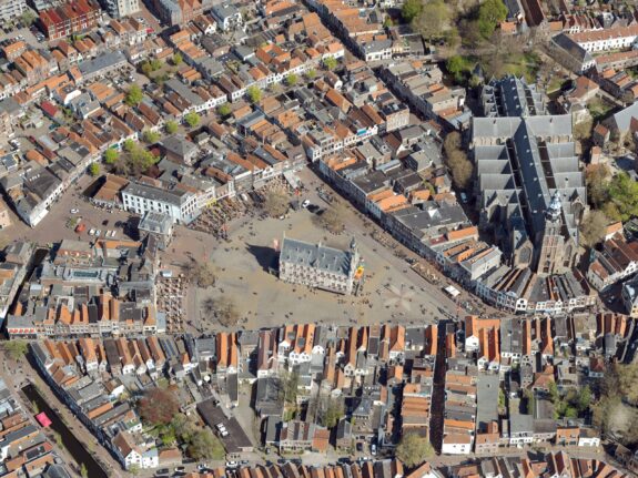
Vertical aerial photography
Vertical aerial photos are acquired vertical, and are the basis for a digital geometric photographic map. Vertical aerial photos are processed into orthophotos or stereo images.
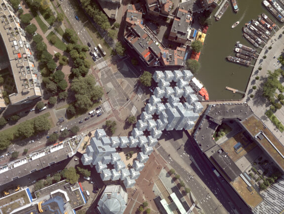
Oblique aerial photography
Oblique aerial photos are acquired with a 45 degree angle, enabling you to view objects from four sides.
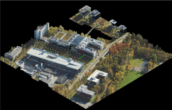
Lidar
Lidar is a technology that determines the distance to an object or surface through the use of laser pulses. Deployed from an aircraft, lidar measurements provide highly accurate and high-resolution point clouds from the earth’s surface.
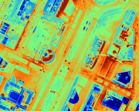
Thermal aerial photography
A thermal aerial photo visualizes heat loss through roofs of houses and other buildings.
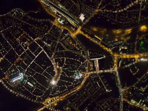
Aerial photography by night
Aerial photography by night clearly visualizes existing light pollution by artificial light by means of an aerial photo.