Lidar
Lidar is a technology that determines the distance to an object or surface through the use of laser pulses. Deployed from an aircraft, lidar measurements provide highly accurate and high-resolution point clouds from the earth’s surface. The laser is able to see through various layers of vegetation and plant cover therewith measuring ground level or object height.
A lidar point cloud from Miramap Aerial Surveys has a point density of a minimum of 10 and a maximum of 100 points per square meter (in a single strip). Combining strips naturally results in a higher point density. Height accuracy is at centimeter level.
The georeference and classification of the laser point clouds provides detailed representations of the earth’s surface in the form of Digital Terrain Models or surface models. These models serve as a basis for, for example, spatial planning, infrastructure planning and the mapping of flood defenses and calamities.
Because of our experience in collecting for the Actueel Hoogtebestand Netherland (AHN), the Lidar measurements of Miramap Aerial Surveys always meet the strict AHN specifications for point density, height and planimetric accuracy, classification and checks.
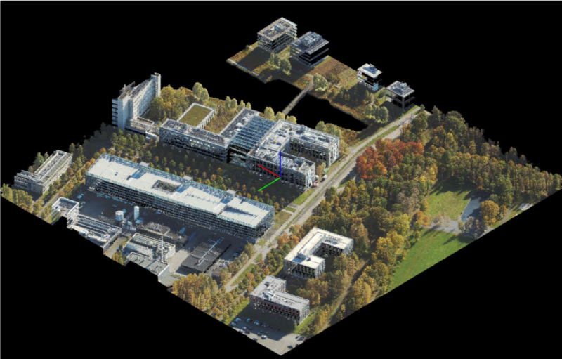
Lidar measurements can be obtained simultaneously with digital aerial photographs (vertical and oblique). This combined acquisition forms the basis for a photo-realistic 3D model or digital twin.