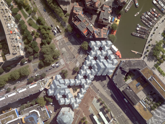
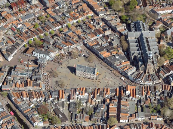
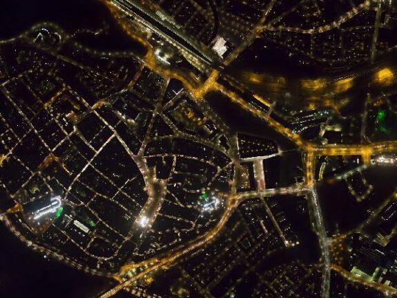
Vertical aerial photography

Vertical aerial photos are acquired perpendicular, and are the basis for a digital geometric photographic map. Vertical aerial photos are processed into orthophotos or stereo images.
Digital aerial photography, vertical as well as oblique, are performed with our two company-owned, twin-engine airplanes equipped with camera/scanner hole.
All data is acquired, processed and interpreted by our own skilled, experienced and certified geodetic engineers, in order to meet high standards for quality, precision and reliability.
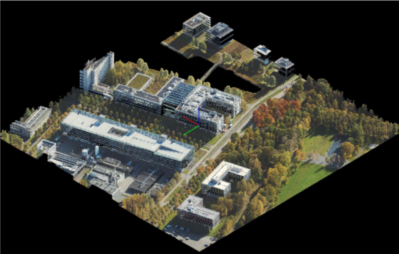
Digital aerial photographs (vertical and oblique) can be obtained simultaneously with lidar measurements. This combined acquisition forms the basis for a photo-realistic 3D model or digital twin.